Cadastral Map
The basis for land registry updates — dividing or merging plots, measuring new buildings, adjusting boundaries. An officially certified document.
We survey, stake out, and prepare cadastral maps with centimeter precision. From property boundaries to as-built construction — stamped by a licensed survey engineer.
Complete surveying work for builders, landowners, developers, and municipalities. From a single point to an entire cadastre — always with a certified output.
The basis for land registry updates — dividing or merging plots, measuring new buildings, adjusting boundaries. An officially certified document.
Precise marking of property lines per the cadastre or building placement per the project. Before the fence, construction, or neighbor dispute.
Topographic and planimetric site survey as a basis for design. We measure terrain, buildings, fences, utilities, and mature vegetation.
Cadastral map for registering rights of way, access, or utility lines across another property.
Precise height and contour determination — for drainage, landscaping, or sewer connections.
Repeated precise measurements of building shifts and settlement over time. Data for structural engineers and insurers.
Surveying isn't just "show up and measure." Every project follows the same path — from order to certified output that holds up at the authorities.
We find out what you need and why — measuring for a fence is different from measuring for a building permit. We quote the price and timeline upfront.
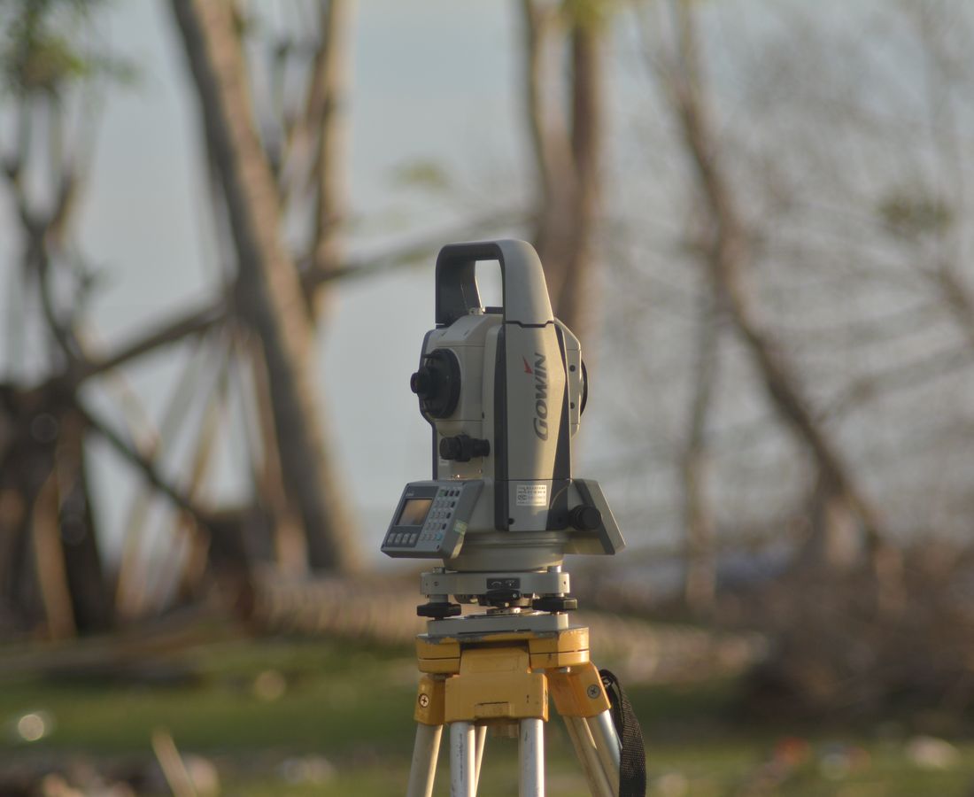
We arrive with GNSS equipment and a total station. We measure points in the S-JTSK system and heights in Bpv.
Data is processed in the office, compared with the cadastre, and a drawing is prepared according to current regulations.
The output is verified by a licensed survey engineer — only then does it get the official stamp and validity.
For cadastral maps, we handle confirmation by the land registry office. You receive a ready-to-use, official document.
That's the real-world accuracy of a GNSS RTK point in open terrain. With a total station, we get down to millimeters — and precision is what decides whether your fence sits on your land or your neighbor's.

No surprises on the invoice. Prices depend on the size and complexity of the site and accessibility — so we always confirm them before the site visit. Indicative prices:
Whenever a cadastre record changes — dividing a plot, registering a new building, establishing an easement, or adjusting boundaries. Without it, the registry won't record the change.
Stakeout transfers points from the cadastre or project to the field (where the boundary or building should be). A survey transfers the actual state from the field to a drawing.
GNSS method ±1–2 cm, total station to single millimeters. For property boundaries, it's the difference between certainty and a neighbor dispute.
The actual survey is usually a one-day job. Processsing and certifying a cadastral map then takes several days to two weeks, depending on the type.
For boundary stakeouts, your presence (and ideally your neighbors') is recommended for the protocol. For other work, access to the site is sufficient.
Yes. Cadastral maps and stakeout protocols are certified by a licensed survey engineer, and cadastral maps are confirmed by the land registry office.
Tell us which property it is (ideally the parcel number or address) and what you need. We'll get back to you with a price and timeline — we usually schedule the survey within a week.