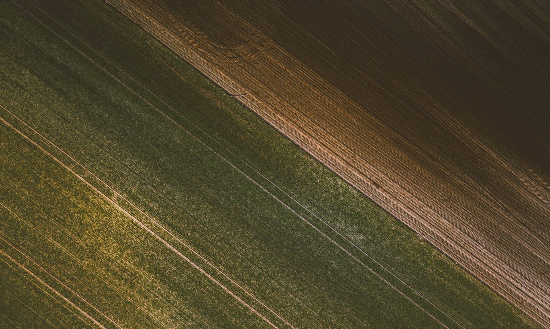
Your land, to the centimetre.
Orthophoto maps, 3D terrain and roof inspections flown by licensed pilots — data you can measure, not just look at.
Hundreds of photos. One truth.
The drone flies a programmed grid, every frame overlaps its neighbour, and photogrammetry stitches them into one measurable map. Watch a survey assemble:
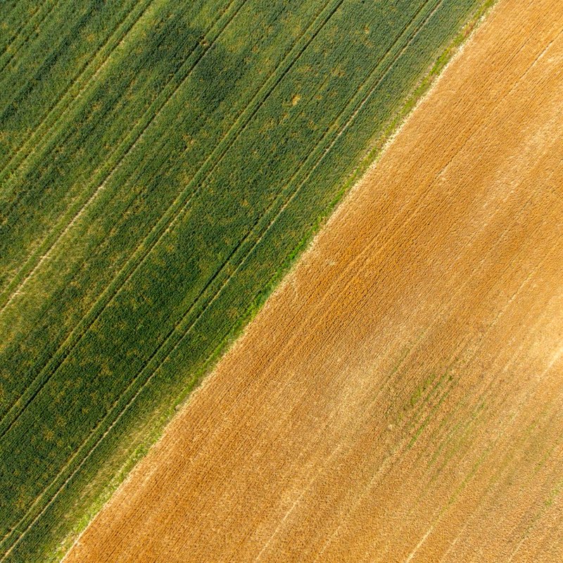 49.744N 13.378E
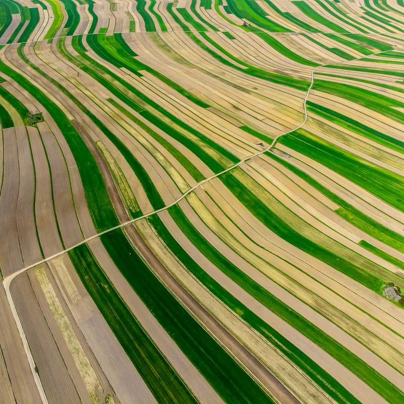 49.744N 13.381E
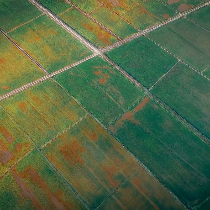 49.744N 13.384E
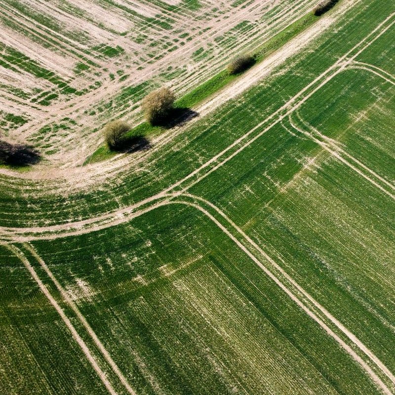 49.742N 13.378E
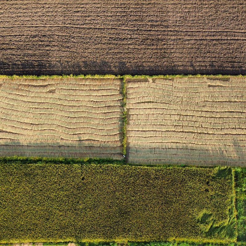 49.742N 13.381E
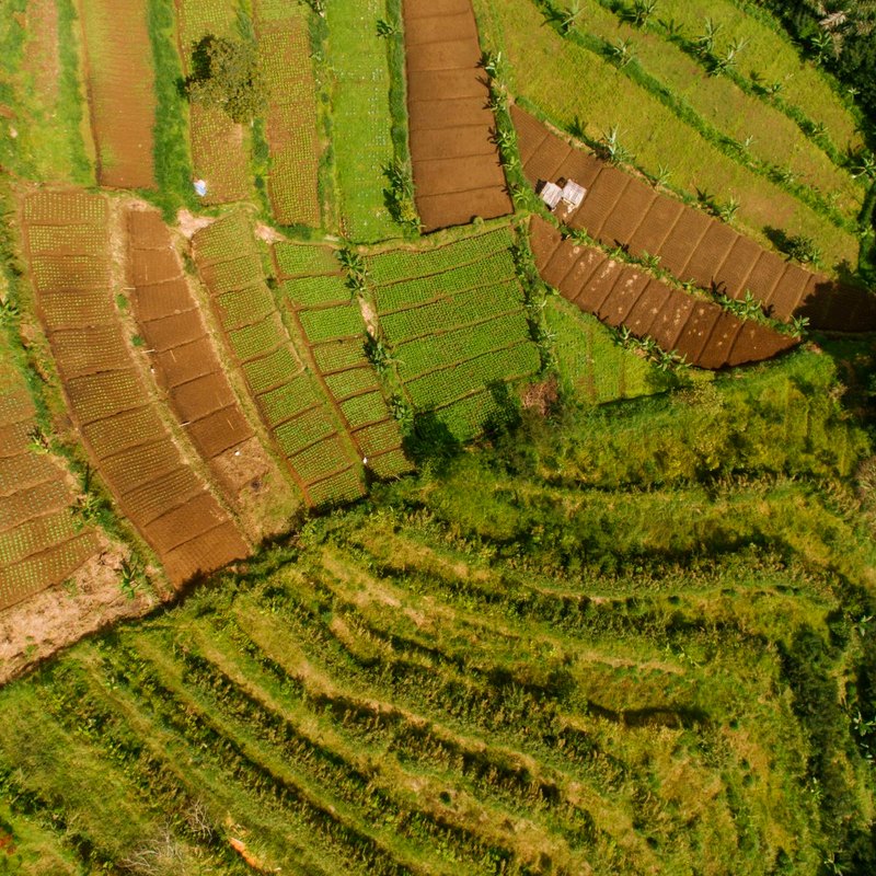 49.742N 13.384E
> 78 % overlap · RTK positioning · GeoTIFF, LAS or OBJ on delivery
Missions & rates.
Orthophoto mapper hectare, GSD to 2 cm/px
→ GeoTIFF + report
from $41/ha
3D model & photogrammetryterrain, buildings, stockpiles
→ OBJ / LAS point cloud
from $110/flight
Roof & chimney inspectionno scaffolding, 4K detail
→ photo report + video
from $133
Solar plant thermographyhot spots & failed strings
→ thermal report
from $206/flight
NDVI crop mappingvegetation stress zones
→ NDVI map + shapefile
from $55/ha
Real estate & eventsgolden-hour photo/video
→ edited stills + clip
from $252/flight
ÚCL registeredA1/A2/A3 certifiedInsured to 10 M KčFlight permissions handled
One pilot, both eyes on your data.
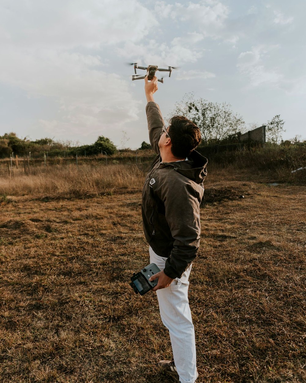
Flying since 2019, mapping since 2021. We plan every mission on the ground first — airspace, weather windows, GSD math — so the flight itself is the boring part. Boring flights make sharp maps.
Drop the pin.
Locality, the job and roughly how big — we reply with a flight window and a fixed quote.
NADHLED · Operating across Bohemia & Moravia · Flights Mon–Sat · weather permitting · +420 776 508 777 · [email protected]